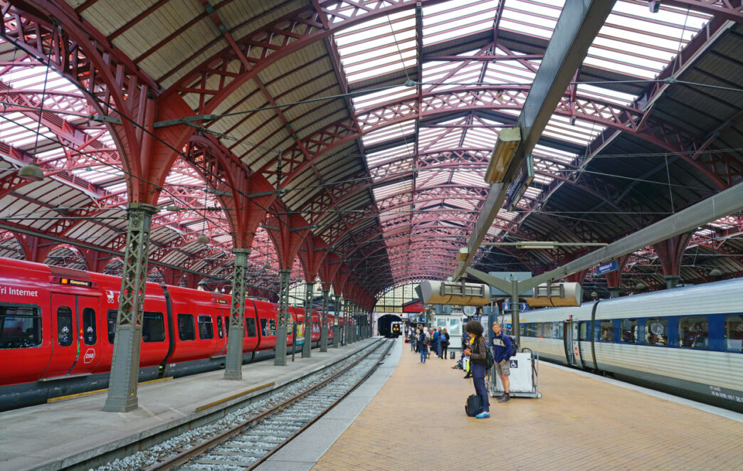
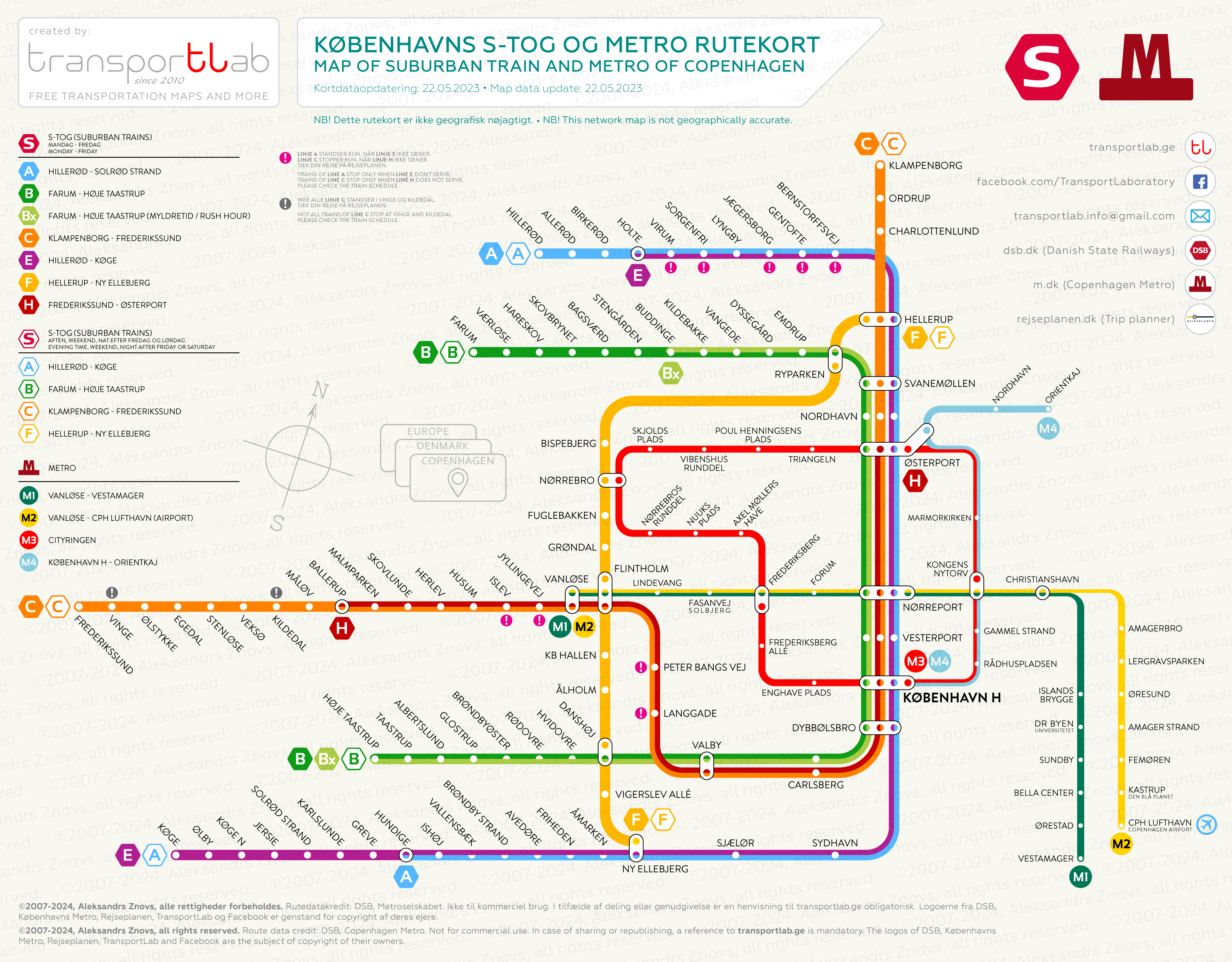
-Last update: 22.05.23-
When Copenhagen’s suburban train system dates back to 1934, the metro system in the Danish capital is relatively young – the first two lines were opened in 2002.
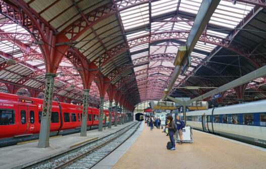
The commuter train system, or S-tog (literally “suburban train”), covers the Copenhagen Urban Area (more than 1,5 million inhabitants) and offers a comfortable alternative to road transport with a 10-minute train arrival interval during the day. The network is well integrated with the city metro, local bus routes, and has convenient transfer points to regional and international trains.
Copenhagen’s metro connects the capital’s central railway station with Copenhagen’s International Airport and other central districts. Trains run automatically, without the control of the train driver.
Desktop: click on the image and right-click for options. Mobile: tap image for further zoom-in/zoom-out, tap and hold for options.
Title image credit: Shutterstock