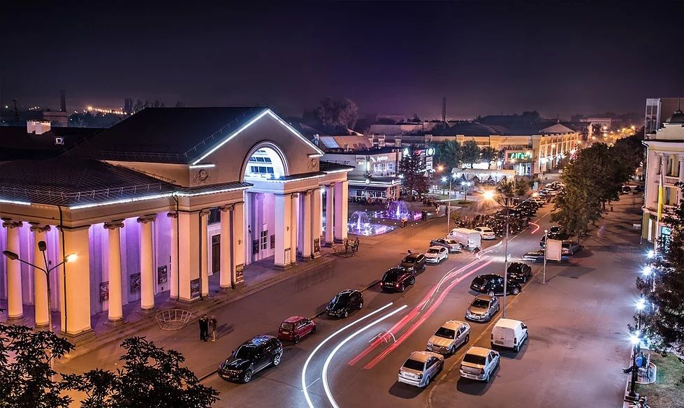
This Ukrainian city is one of the longest in Europe, the surrounding conglomeration of the city is similar to the Ruhr inhabited area in Germany. By the way, besides the other types of local transportation, Kryvyi Rih has its own high-speed tram line. Sound interesting, not? Let’s see how the whole transportation map would look like…
Dark Mode
Light Mode