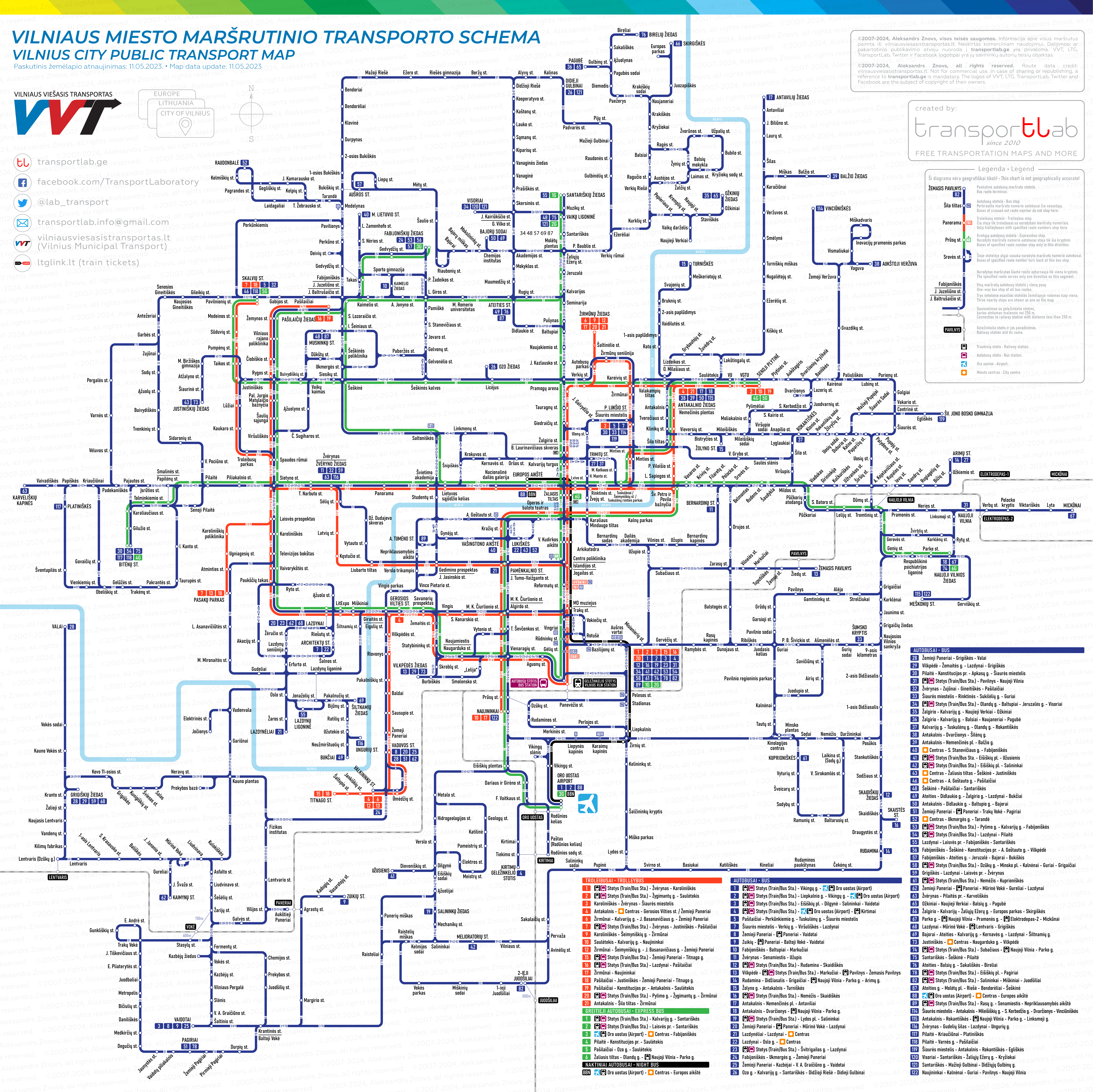
Dear friends! As soon as I completed the route map for the transport system of the City of Riga, I immediately switched to the diagram of another beautiful Baltic city – Vilnius, the capital of the Republic of Lithuania.
For Vilnius, I applied a slightly different tactic than in the case of Riga. I decided to use only horizontal and vertical line orientations. All route numbers appear directly on the route lines. Additionally, in the list of all routes, I also indicated the stations of regional trains, so passengers can choose this type of transport as well. I hope this bilingual map will be intuitively easy to understand for everyone. In any case, I will be glad to hear your ideas and suggestions to improve the map in the future. The diagram was created for use in mobile devices, but it can be easily converted to a printed version to use at major transport stops.
You can download the diagram for personal use for free, the only thing I kindly ask you is to visit and like my page on Facebook where you can contact me in case of any question or claim mistakes found on the network maps. If it is more comfortable for you please follow me on Twitter just to be always informed about new uploads. Thanks.
Desktop: click on the image, then right-click to open the full resolution image. Mobile device: tap on image for further zoom-in/zoom-out, tap and hold to choose to open full resolution image on the new tab.
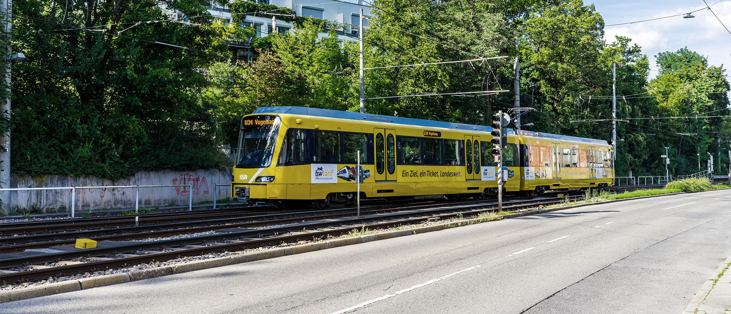
Title image credit: www.govilnius.lt


