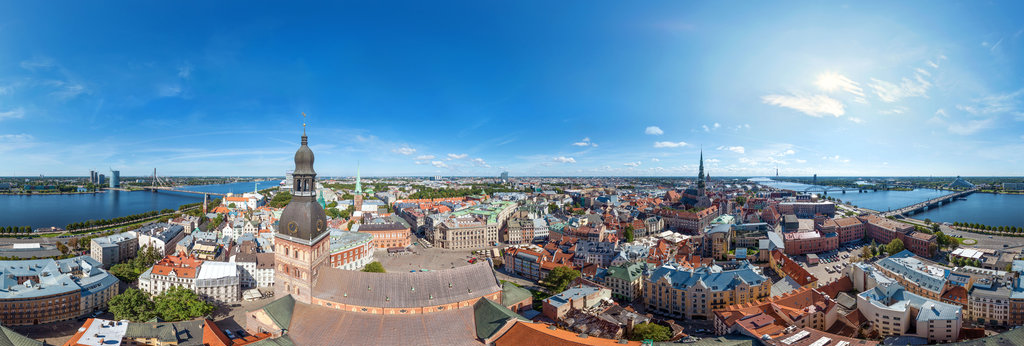
In the south of Ukraine, at the shores of the Black Sea, there is a large city with a population of 1 million located our point of interest – the sunny Odesa with its multifunctional port and long public beaches. The agglomeration stretches along the coast for almost 120 km and together with the city inhabitants rises till 1.36 million. If we add 3.3 million more – the tourists who annually visit the city and its surroundings, we get a fairly large flow of passengers which the city and suburban transport system has to cope with.
Criticism
In addition, to a rather peculiar railway network, the city also has an electric transport network with 17 tram and 7 trolleybus routes. The rest of the mass of passengers relies on the services of some municipal bus routes and low-level private services. This situation can be called in no other way than catastrophic and this image we see in the city with a huge port through which millions of tons of various goods pass each year. I really don’t understand where the big money from cargo transportation and tourism, as well as a large number of industrial facilities, has lost, but Odesa could create an excellent transportation system even in Soviet times or during the 30 years of the country’s independence, but it didn’t.
We will not raise the issue of where the huge money is wasted and why practically nothing has been done for the residents of the city – let it simply remain on the conscience of politicians and the electorate. Seeing a rather weak prospect for the development of urban transport in Odesa, we can only dream up, but why not?
Okay, what does the city already have?
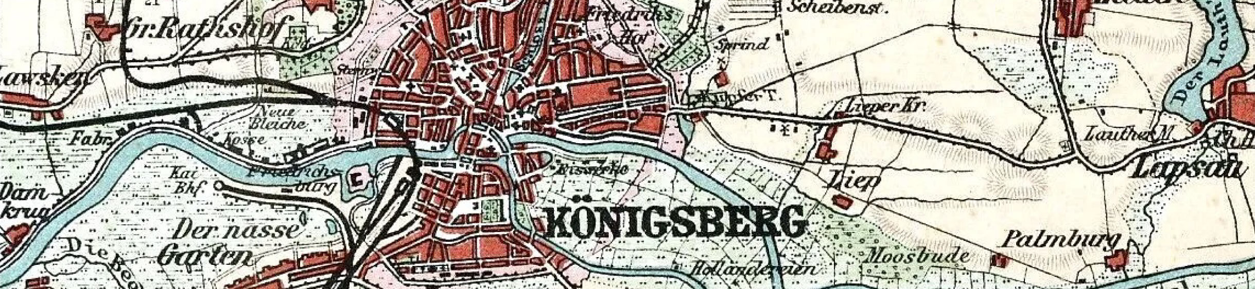
The first fact worthy of mention is quite a dense network of railways, including the access and cargo lines. Of course, when planning a new network, we will not neglect even a single piece of track. So, if we take a radius of 25-30 km (which is usually to be taken during the planning of urban/suburban railways) around the city centre and, as an exception, in some places slightly exceed this norm, we will focus on the following existing network.
Click on the image below, then right-click to open the full resolution image, which you can zoom in for an online preview or download to your device for free personal use.
![]()
Let’s start
Even with this baggage, we can create a pretty good urban/suburban transit network and this surely would be the first step to start with. The first route I am going to propose is Line A – the semicircular line that goes around the city centre and allows residents and tourists to quickly get to the port district. This line can be abolished if the presence of the metro will appear on the horizon (more about that later) or keep it in service if it will have sufficient passenger flow.
Line B and D, along with Line A, are intra-urban lines. Line D would connect the Central station of Odesa with the remote densely populated Kotovsky Microdistrict, but Line B will run along the southwestern border of the city to Rybny Port and Lustdorf. The rest of the lines (except for Line G2) can be considered suburban. Some of them (e.g. Line E and F) could provide express services to raise the efficiency of the network.
Unfortunately, very dense urban development does not allow easy building new heavy rail lines through the city, so the correct, albeit very expensive solution would be to build one or even more metro lines. Additionally, underground train stock can be purchased and infrastructure can be built according to the requirements of an ordinary railway (same platform level, rolling stock width, same overhead power supply, same track width). Thus, one of our metro lines (M1) could be brought to the surface and continue its route on the railway tracks, partially duplicating the route of Line D. The metro line could dive then under the ground again serving the Kotovsky Microdistrict as metro again. This would significantly reduce the costs of construction and operation in the long term perspective and will provide the following benefits: a unified standard for rolling stock, interchangeable trains, the ability to change and combine routes, create new hybrid ones on demand quickly and without pain.
Let me mention that a significant part of the traffic flow in the city usually is created by the residents of suburban residential areas with poor passenger options, therefore, we must not be limited to the administrative boundaries of the city. For this reason, I considered it expedient to extend our hypothetical metro lines to Chornomorsk and Veliky Dalnik. This let me pull both metro lines (M1 and M2) further. So now the new urban rail network would look something beautifully like this:
![]()
But what about the tram?
At the moment, the Odessa tram network is a rather ineffective option to take advantage of this excellent form of transportation. Let’s try to create routes literally from scratch, regardless of the existing network. During the process I was guided by the following principles:
• Reduction of road transportation routes;
• Maximum availability in many parts of the city;
• Minimum possible walking distance to the nearest tram stops;
• As large as possible number of interchange knots for easy transfer between the lines;
• Each tram route must have at least one interchange station with rapid transit lines (metro or suburban rail).
Of course, for such an expanded network, it would be necessary to build miles and miles of rail infrastructure and electrify it additionally, to build additional depots and maintenance centres, but this is a more correct investment than financing road transport projects. Well, all this joy may look like the diagram below, which is geographically accurate and the pale-yellow area around tramlines with a radius of 350 m from stops shows the average suggested walking distance for passengers showing the coverage of the network.
![]()
Probably the geographically correct map looks a bit messy, so I made one more diagram that is more readable and understandable. Here you can also take a look at the interchange stations for an easier understanding of the transport system. Please remember: as always, I try to implement the “maximum program”, but any route can be changed following the real requirements of demand passengers flow.
![]()
Please visit and like my page on Facebook where you can contact me in case of any question or claim mistakes found on my network maps. Hereby, you can follow me as well on Twitter to stay informed. Thanks.