Recently I wrote about the situation with the municipal transport of Kryvyi Rih and pointed to the plenty reasons which caused quite a helpless situation. Unfortunately, the economic recession put irresistible obstacles to enhancing the transportation system efficiency in the whole region and the city itself. About my visions for the possible municipal and suburban transport solutions please read in my recent article in the My Vision section.
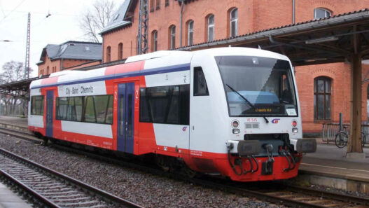
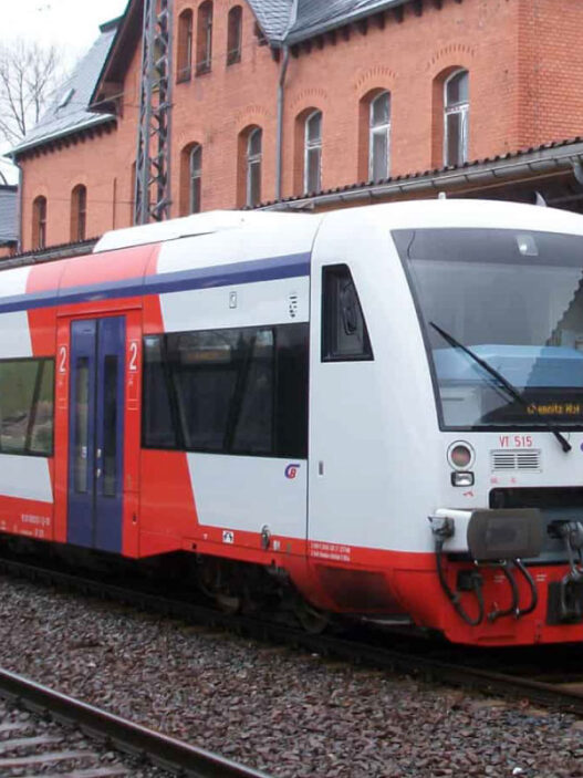
Nonetheless, the city is continuing to live its ordinary life, but the existing transportation network continues to perform its duties. We will not go into details about the last limitations caused by the well-known virus spread. Let’s consider this transportation network as it will work when all pandemic restrictions will be cancelled. So guys, hereby to your attention: my new brainchild – a complete network map of the municipal transportation system of Kryvyi Rih and its metropolitan area. With its city bus and microbus routes, tram and light rail lines, suburban bus and train connections. All in one.
Additionally, I decided to add some more information to help to recognize the location on the map more easily. Besides, my friend Anton Zaiats and his beautiful spouse Oksana Sokolova, whom both live in this incredible city, helped me find significant points of interest, which would be interesting to visit for residents and guests. Some of them are classical a must, but some others would surprise you and even leave you with your mouth wide open. I added them all to the map as suggestions to exit.
Click and right-click on the image below to view full resolution. Then right-click and choose download to save it on your device for free personal use. Please visit and like my page on Facebook where you can contact me in case of any question or to claim mistakes found on the network map. Thanks.

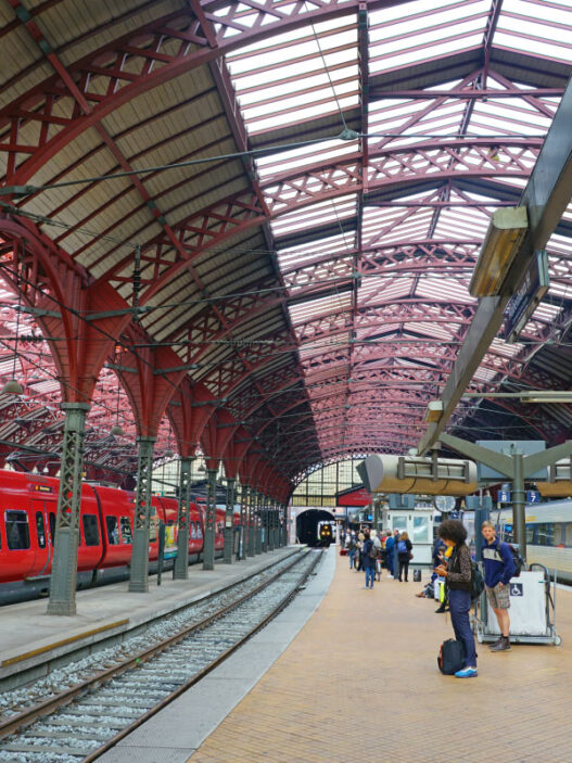
Title image credit: Andrew J.Kurbiko
Network map created using data from: EasyWay