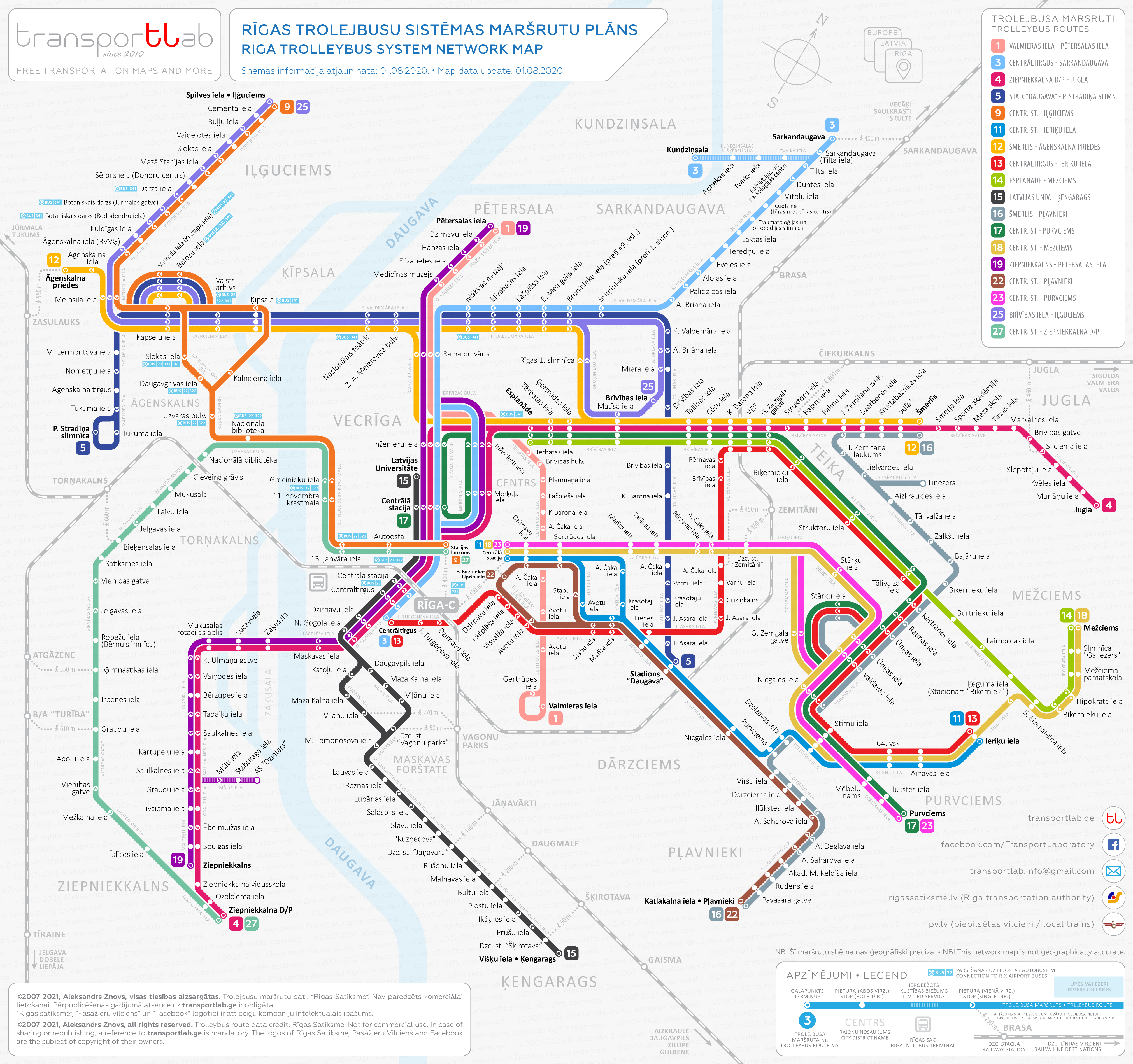
Recently I have shared with you the Riga tram route map. Now I am going to introduce you to my next work – the trolleybus network map of my lovely home town Riga.
As in the previous one, I used the same principles of presenting information and the same design style – thicker route lines, showing the distance from trolleybus stops to the nearest commuter train stations and airport bus access points.
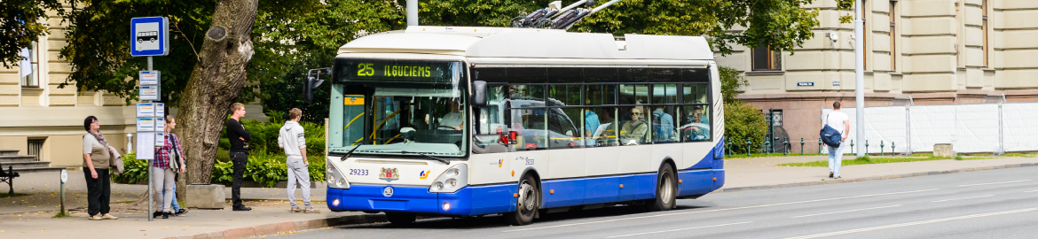
Riga got its first trolleybus in 1947. The first regular route ran from Viesturdarzs to Valmieras Street. Until now, route No. 1 has not changed much – it only became longer a bit longer. At present, the Riga trolleybus network currently runs 18 routes and carries an average of about 50 million passengers a year.
This network map is for non-commercial use only! To view, or download a high-resolution map please click on the image below, then right-click and choose the action.